Photos, video, 3D capture and ground-level tour footage, planned together and edited for the web.
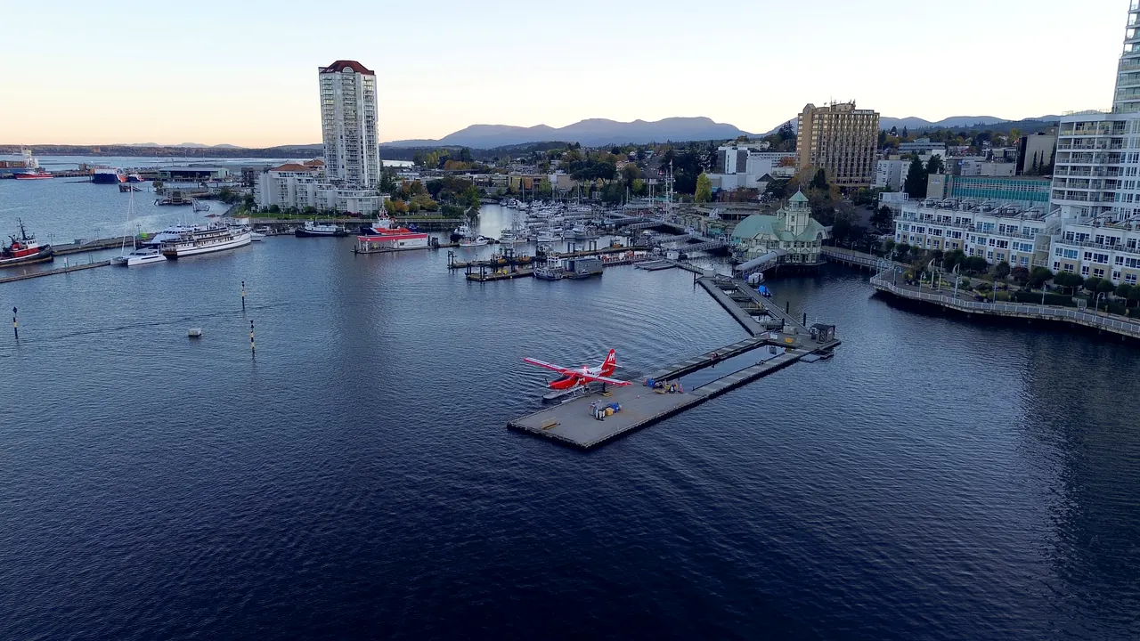
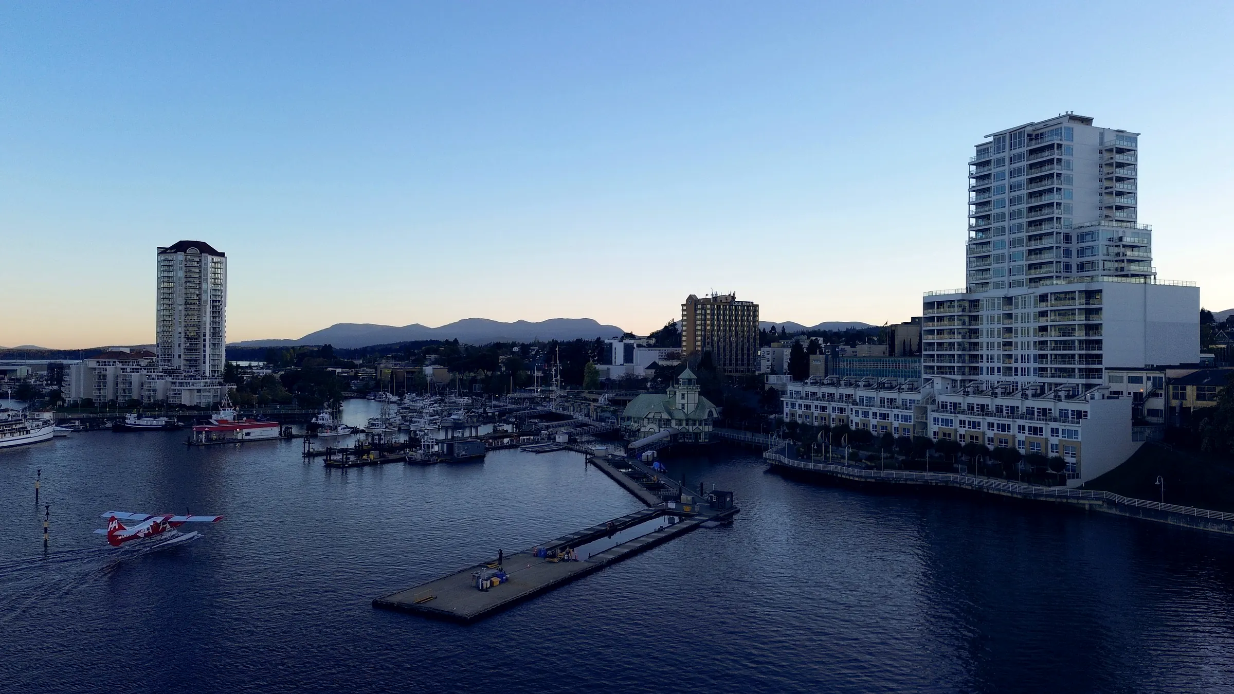
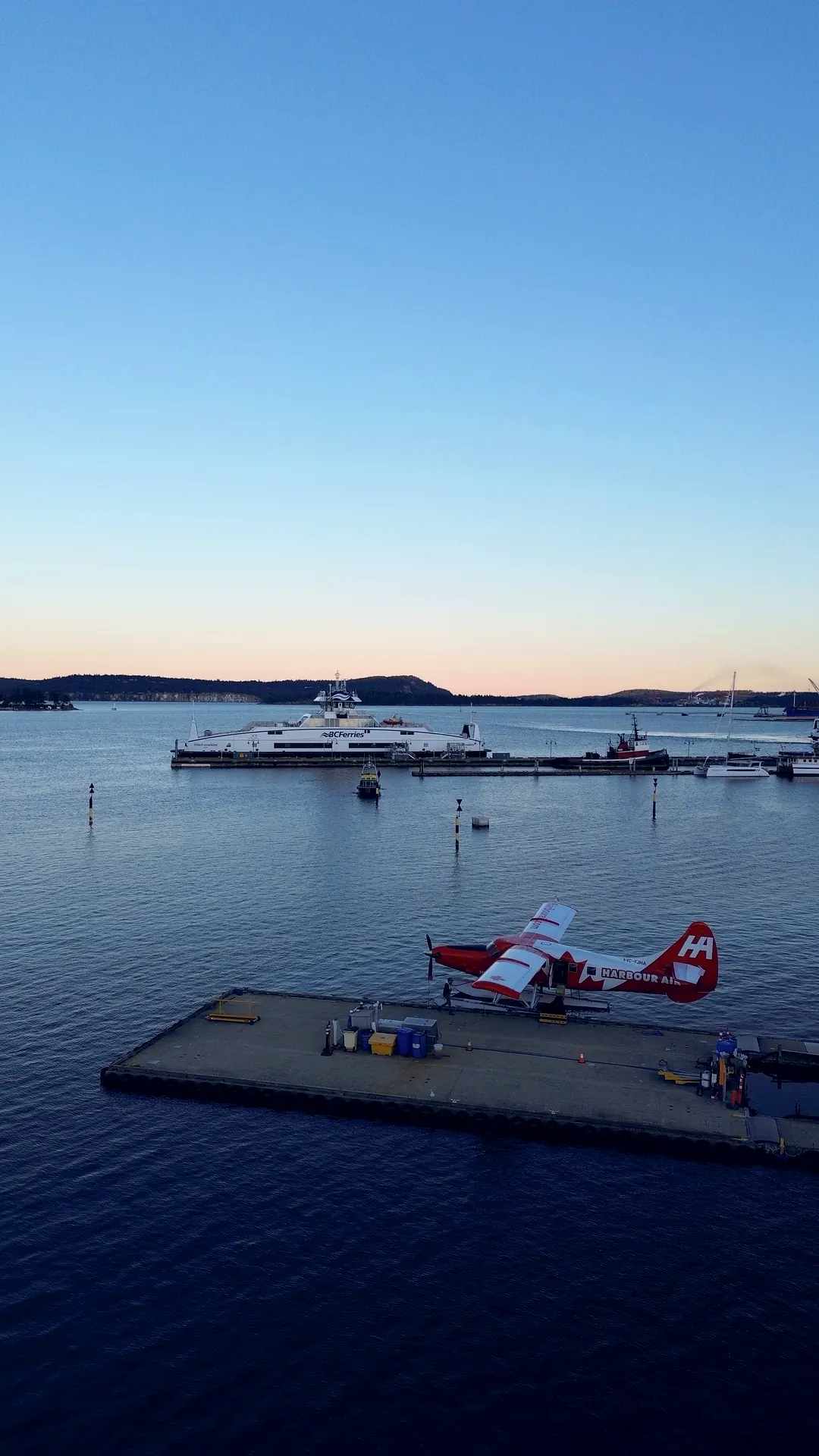
Floatplane dockPhoto
Aerial photography
Listing hero shots, acreage and waterfront overviews, and site-context images for developments. Every set is colour-corrected and exported at the sizes your website, listing platforms and social channels need.
Great for · listings, acreage, waterfront, commercial property
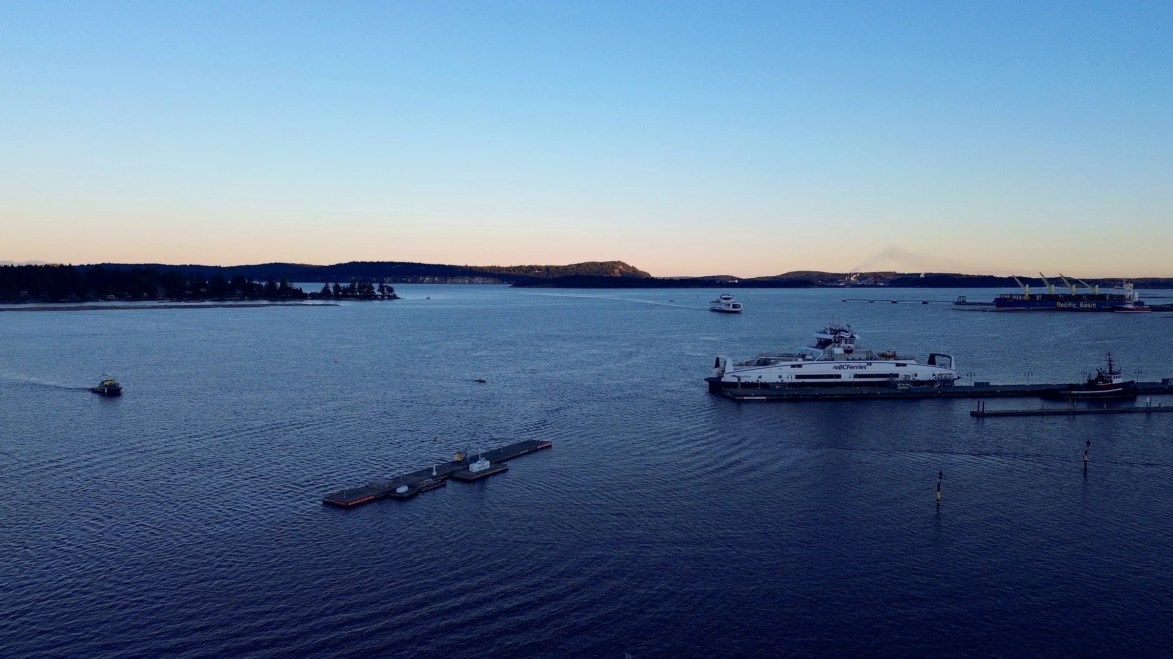
Waterfront flyoverVideo
Aerial video
Flyovers edited into short listing films, project reels and seamless homepage loops. Shot with the web in mind, so clips load fast and look sharp on phones.
Great for · listing films, homepage loops, project reels
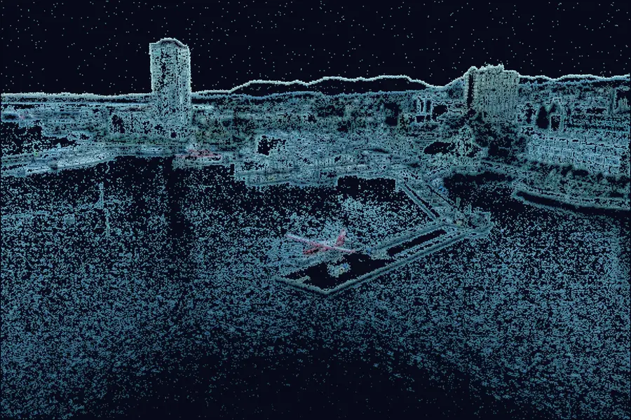
Scan previewIllustration · point cloud
3D
Interactive 3D models
We capture a property or site from dozens of angles and turn it into a model visitors can orbit on your page. Buyers get a real sense of scale and layout; developers and contractors get a model they can reference and share.
Great for · pre-sale developments, large lots, job sites
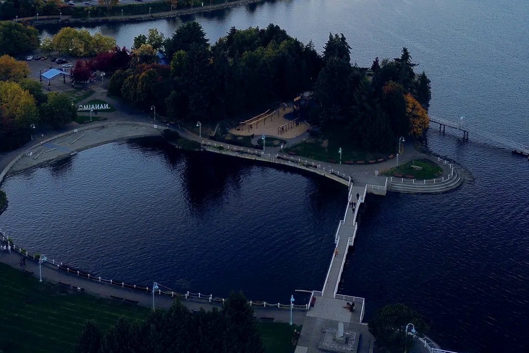
1 · Plaza2 · Footbridge3 · PlaygroundIllustration · tour stops
Tours
Interactive tours
Tours that let people move through a home or finished space at their own pace, embedded on your website next to the photos and video. One page that does the showing for you.
Great for · listings, show homes, finished builds
02 Recent flights
Fresh from the field.
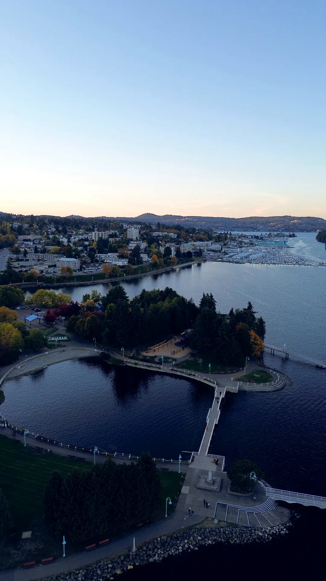
Our latest flight: Nanaimo harbour at golden hour, October 2026. Tap any photo to see it full size. The newest shoots go up on Instagram first.
Most aerial footage ends up in a folder. Because we build the website too, every shoot is planned around where it will live, from the homepage hero to the listing page, and we can see which shots bring in the most enquiries.
Hero video loops for your homepage
Listing and project galleries
Embedded 3D models and tours
Short cuts for Instagram and Facebook
Files sized for listing platforms
Real estate agents
Aerial hero shots and listing films
Tours embedded on each listing
Acreage, waterfront and view properties
Developers
Pre-sale sites with 3D site models
Site-context and neighbourhood aerials
Progress flyovers for buyers and investors
Contractors
Job-site documentation from above
Before-and-after project reels
A portfolio that wins the next bid
04 How a shoot works
From flight plan to live page.
Scoped with you, flown by us, and built into your site.
01
Plan
We scope the shots with you, then check the site, the airspace and the weather before we fly.
02
Capture
Aerial photos, video passes and 3D capture, plus ground-level tour footage when you need it.
03
Edit
Colour-corrected stills, cut-down films and processed 3D models, optimized to load fast.
04
Deliver
Built straight into your website, with files sized for listing platforms and social media.
05 Questions
Before we fly.
Where do you fly?
We are based in Nanaimo and fly for local clients across Vancouver Island, from Nanaimo and Ladysmith to Parksville, Qualicum Beach, the Comox Valley and the Cowichan Valley. Aerial media is not available off the Island.
What affects the price of a shoot?
The location, the mix of photos, video, 3D models and tours, and how much editing you need. Every quote is custom; book a free consult and we will scope it with you.
Can aerial media be added to my existing website?
Yes. We build aerial content straight into the sites we design, and we can also deliver web-ready files or embeds for a website you already have.
Can I use the photos and video on listing sites and social media?
We deliver files sized for your website, listing platforms and social channels. Tell us where you plan to use them and we will make sure you get the right formats.
What happens if the weather is bad on shoot day?
Wind and rain ground a drone. We keep an eye on the forecast and pick a new time with you if conditions are not safe or will not give you good footage.
Touchdown · Alt 0 m
Got a place worth flying?
Book a free 15 to 20 minute consult. Tell us about the property or site and we will quote the photos, video, 3D models or tours you need.